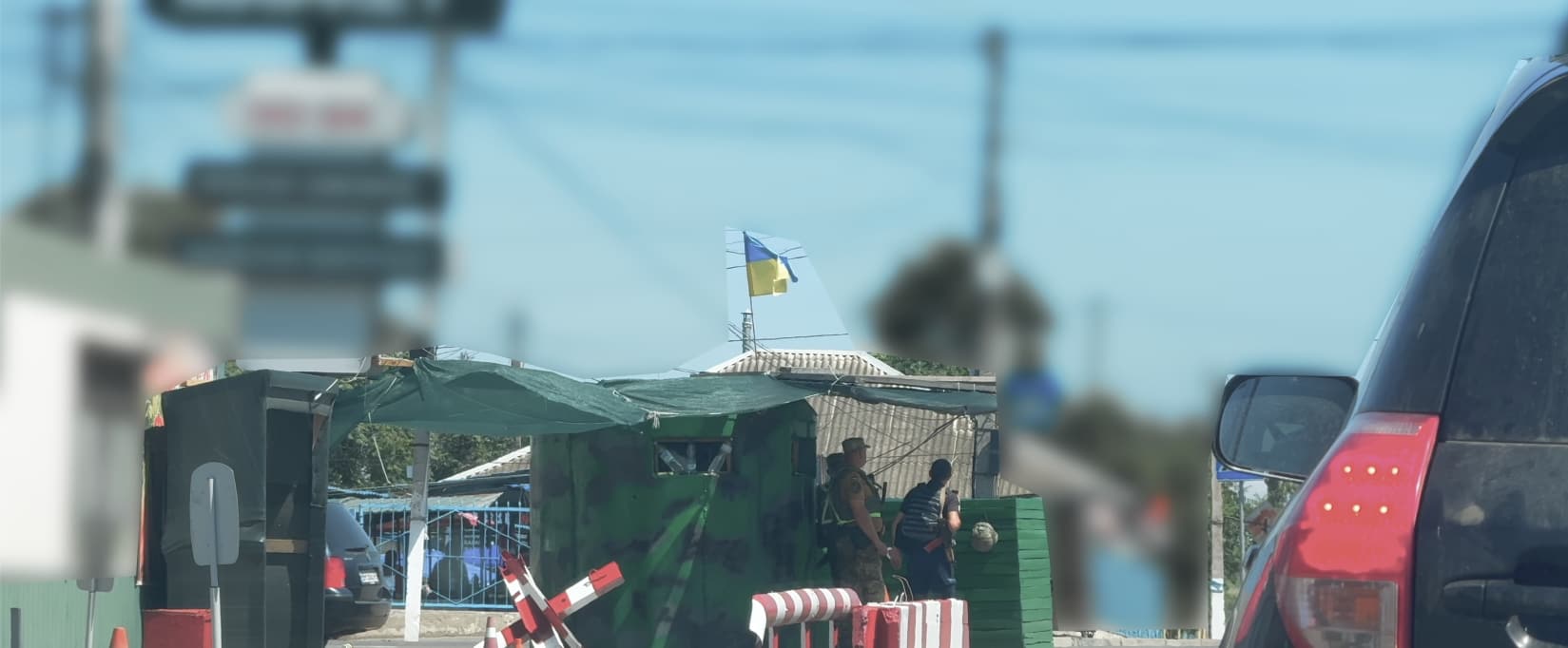
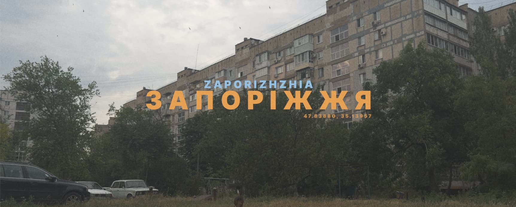
Transnistria Russian-occupied region of Moldova 2025
Moldova 46.84° N 29.63° E
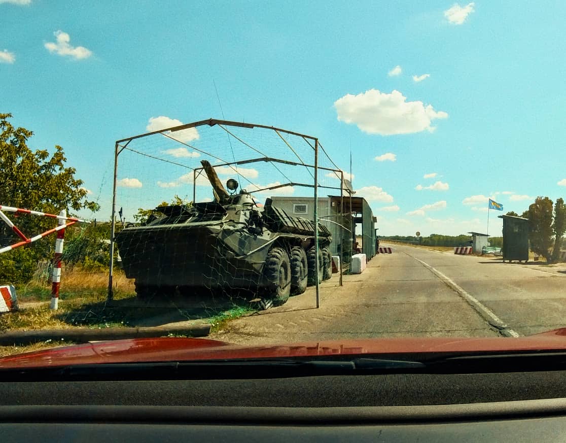
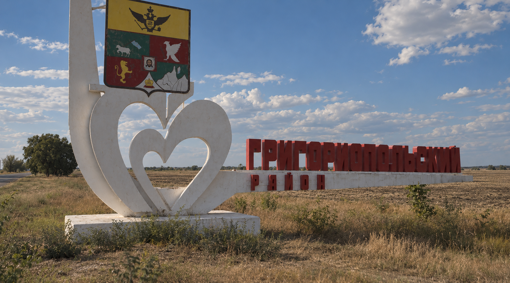
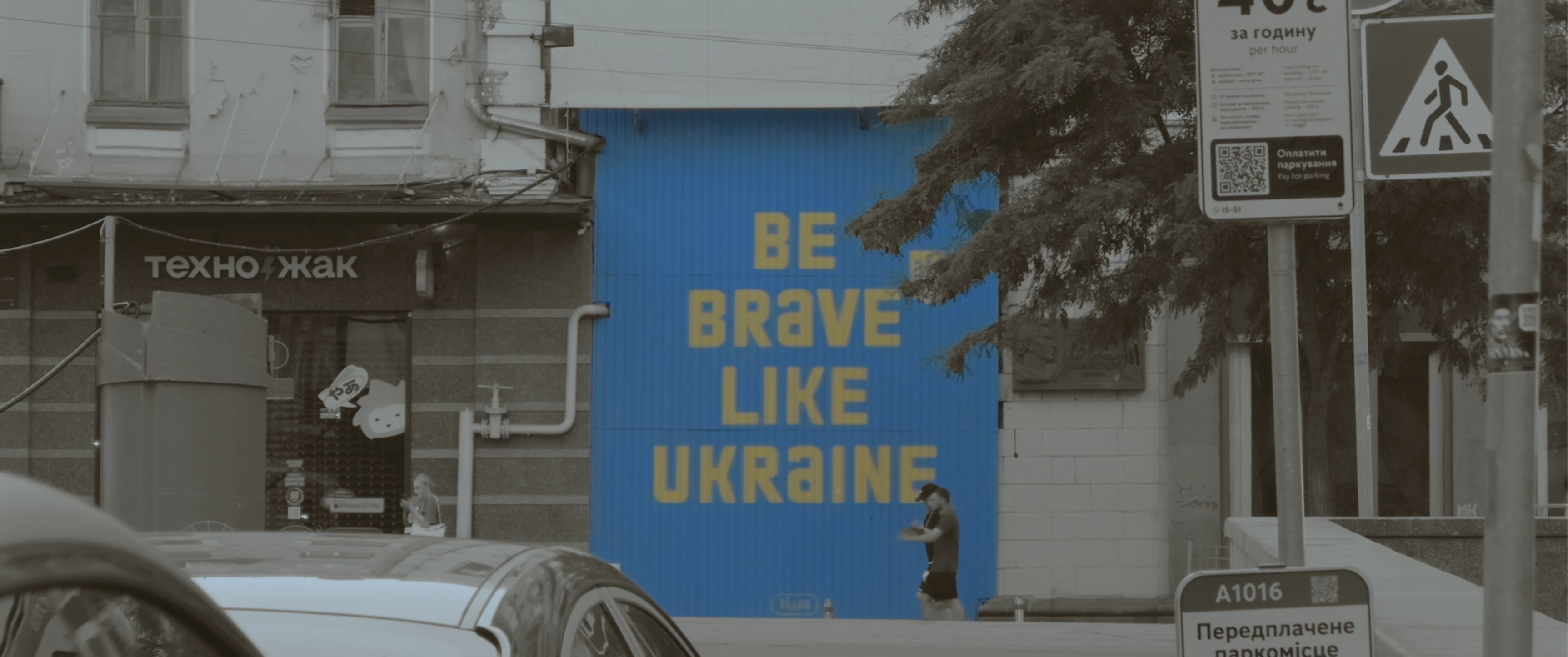
Between Moldova and Ukraine, I documented a territory frozen between Soviet memory and an uncertain present through its streets, monuments and everyday life.
Ukraine
50.43° N 30.56° E
Map data © OpenStreetMap contributors · Elevation: SRTM (NASA)
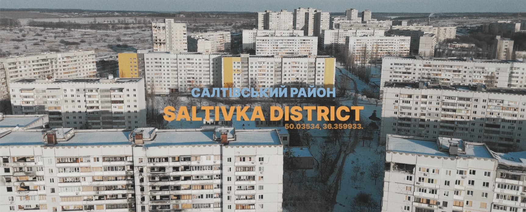
From the film Ukraine, 2023 to 2026
Much of my work begins with curiosity: going somewhere unfamiliar, and filming what I find there.
Each one has shaped the way I see, and film, the world.
On location
Malaysia
1.34° N 103.59° E
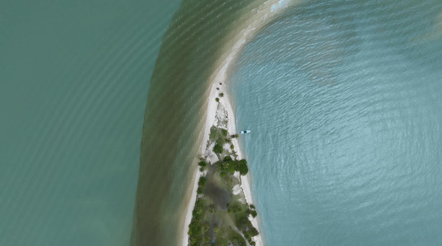
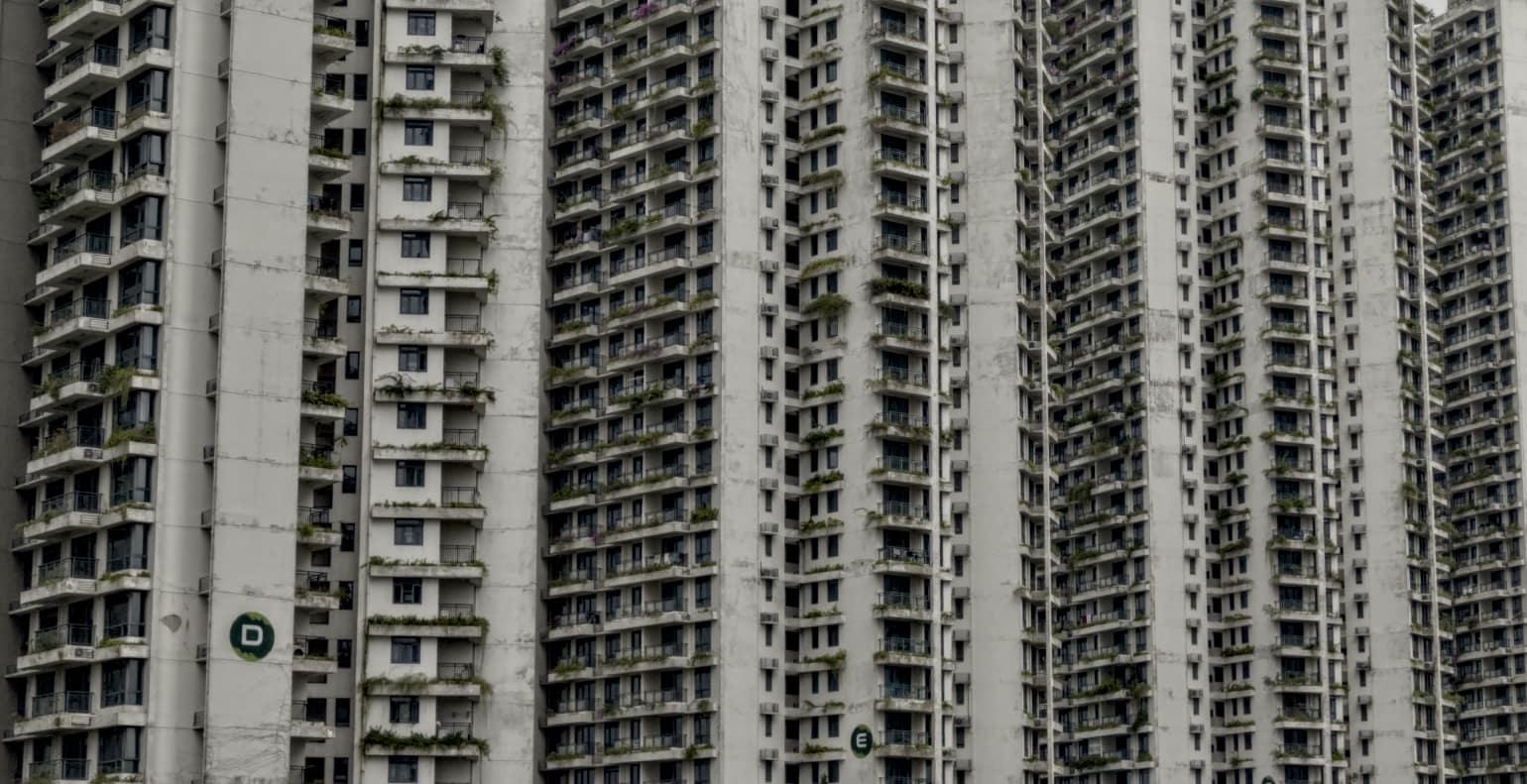
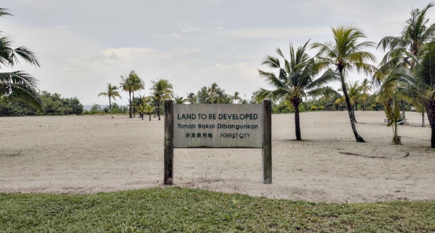
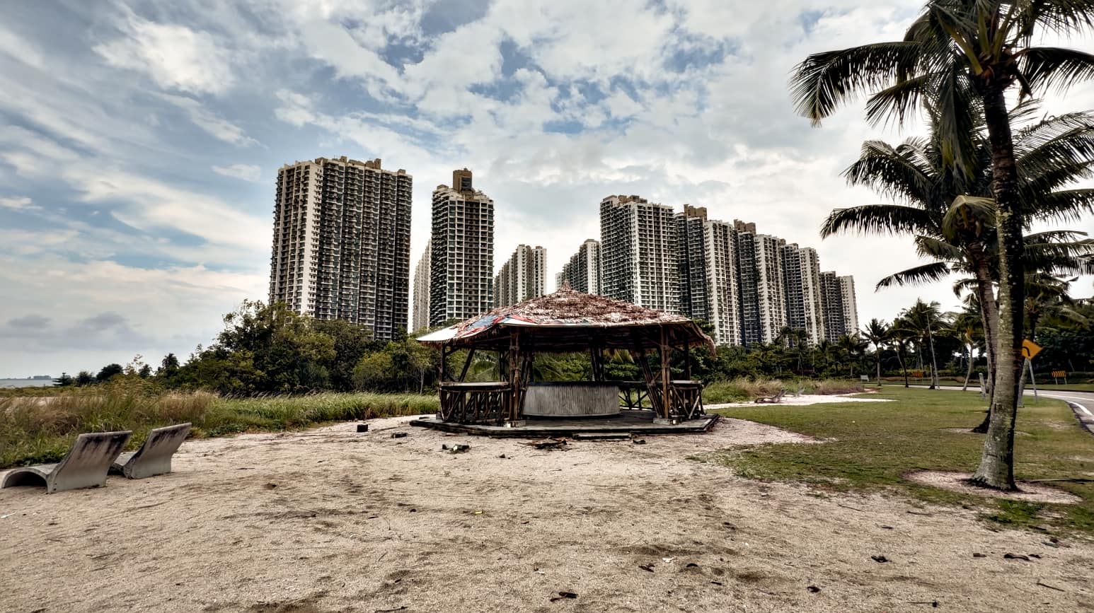
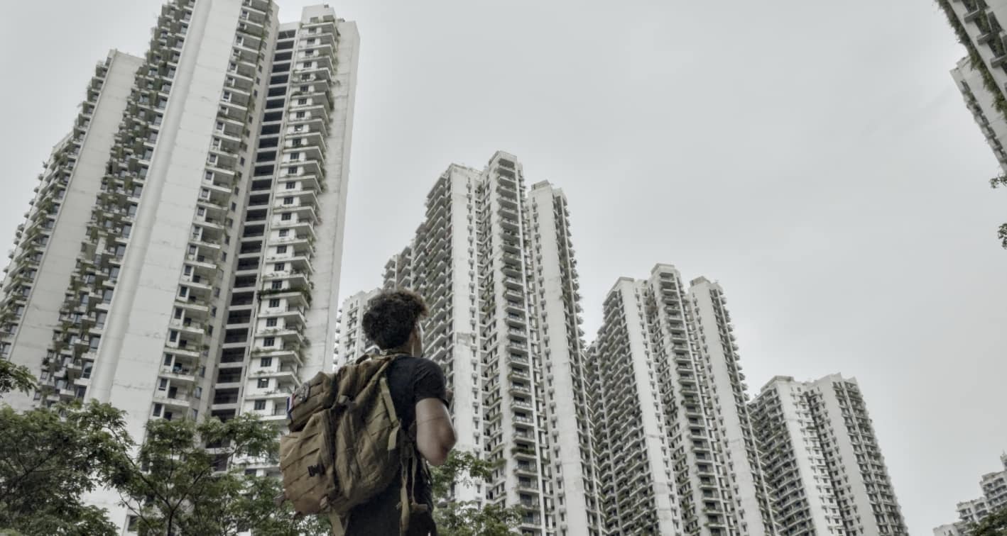
Forest City was envisioned as a futuristic, multi-billion-dollar city rising from artificial islands off the coast of Johor, Malaysia. My project explores what remains of that ambition today; a surreal landscape of towering developments, quiet streets, and a city still waiting for the life it was built to hold.
01Forest City
02Forest City
03Forest City
04Forest City
Map data © OpenStreetMap contributors
Along the Green Line
United Nations Buffer Zone
35.17° N 33.36° E
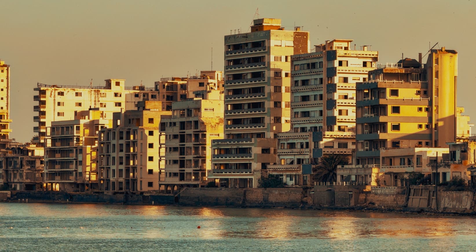
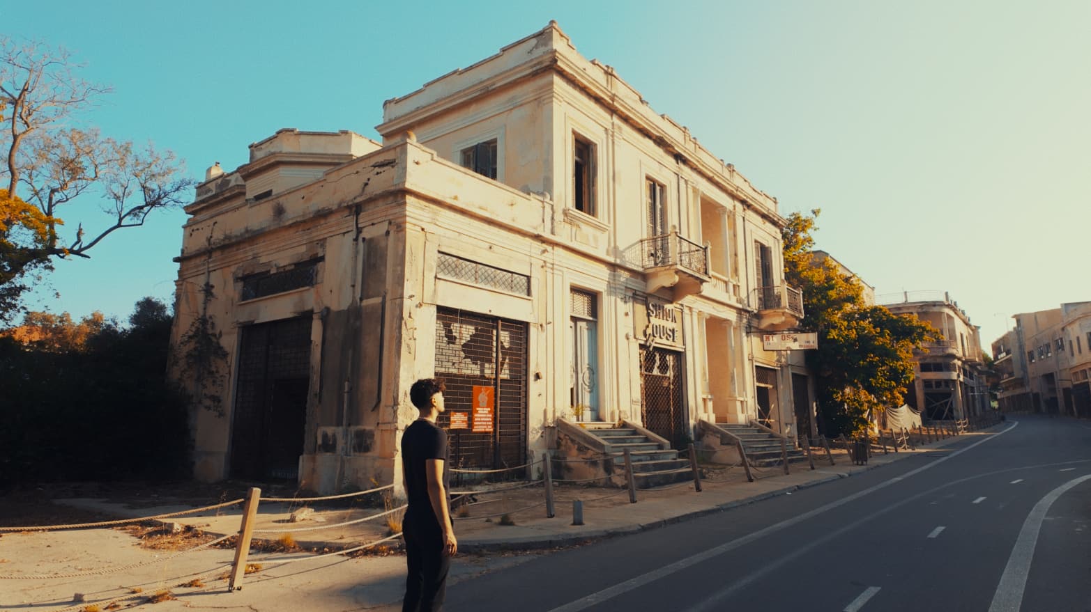
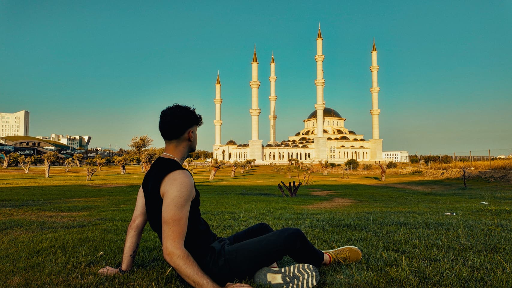
With my camera, I followed the line that has divided Cyprus for half a century. I documented the places, landscapes and traces of history that remain along it.
35.13° N 33.94° E
01Famagusta
02Famagusta
03Towards Nicosia
04Nicosia
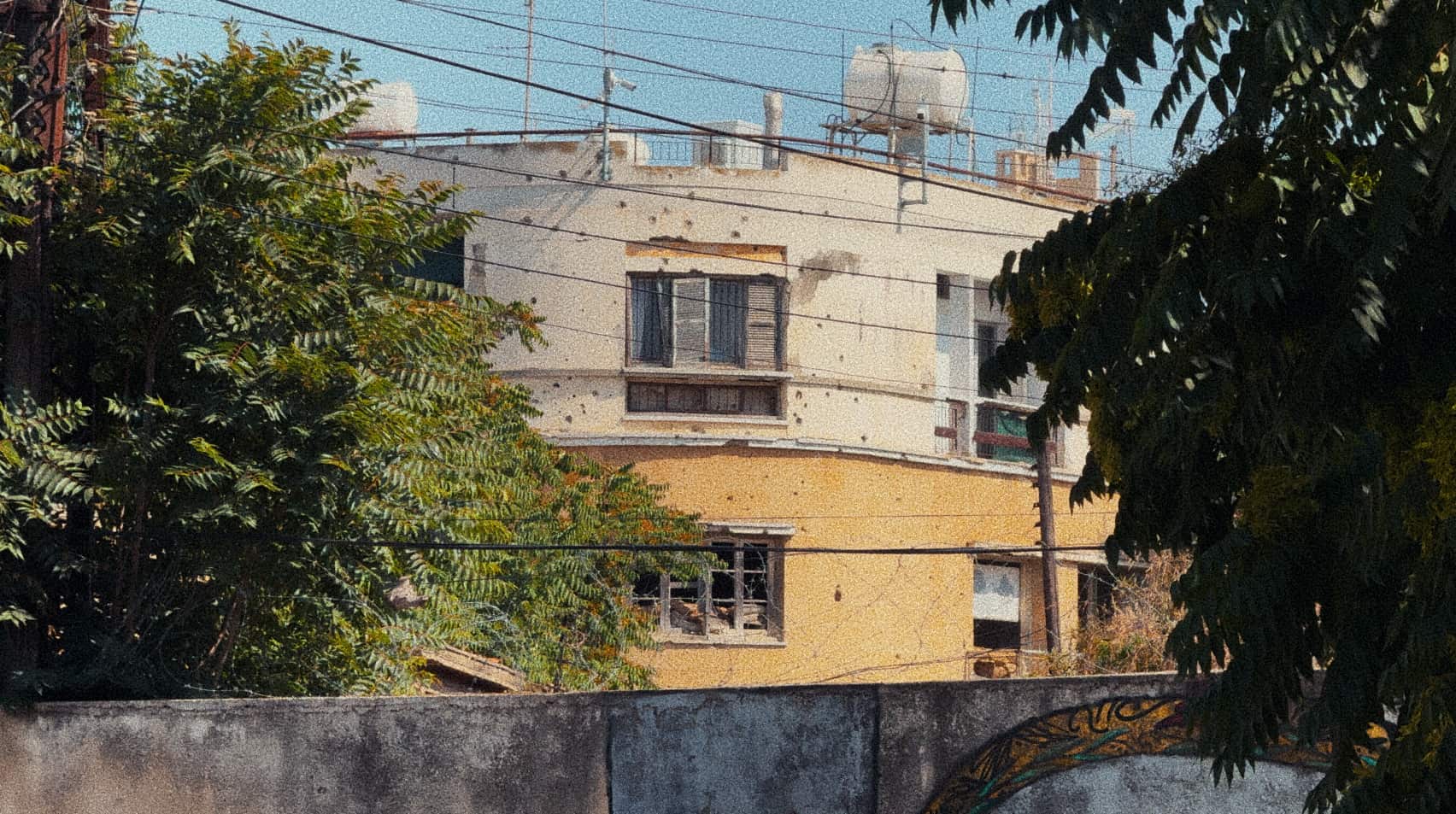
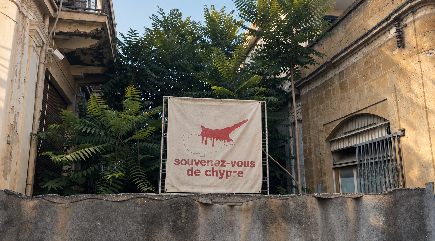
Europe’s last divided capital.
The Green Line runs through the city. It separates the area controlled by the Republic of Cyprus, an EU member state, from the north administered by Turkish Cypriots, recognized as a state only by Türkiye.
05Nicosia
Map data © OpenStreetMap contributors
Moldova 46.84° N 29.63° E
Between Moldova and Ukraine, I documented a territory frozen between Soviet memory and an uncertain present through its streets, monuments and everyday life.
Map data © OpenStreetMap contributors · Elevation: SRTM (NASA)
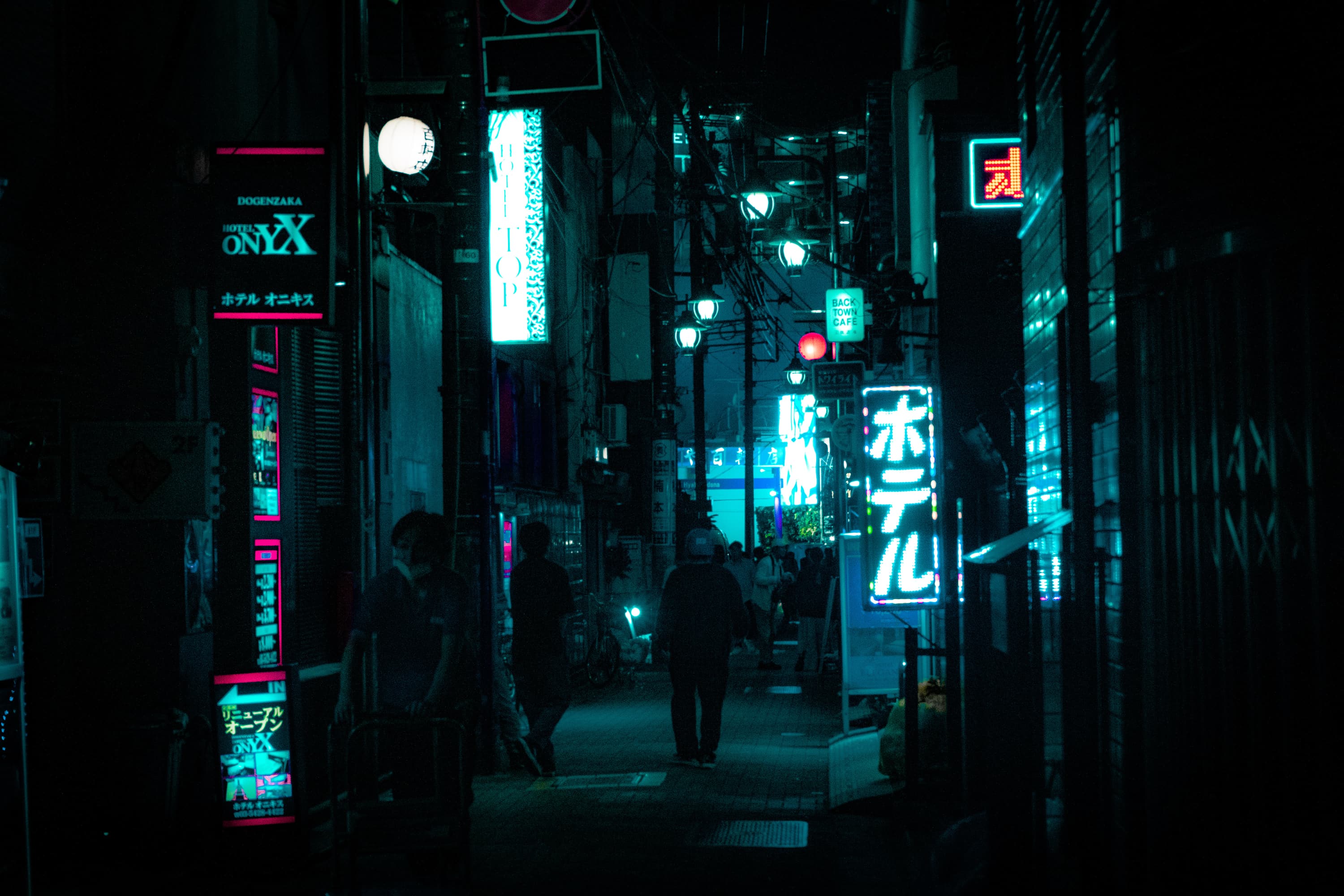
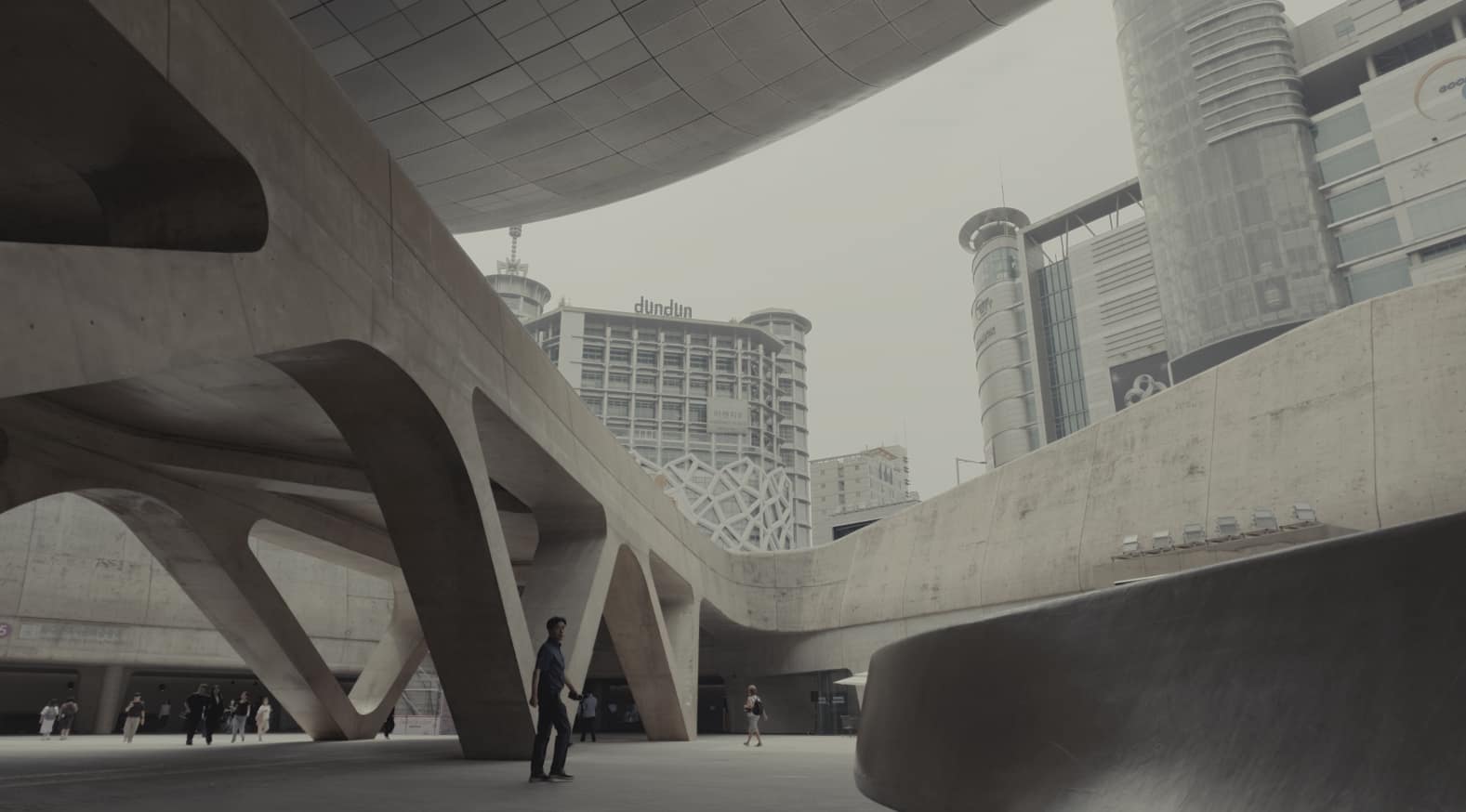
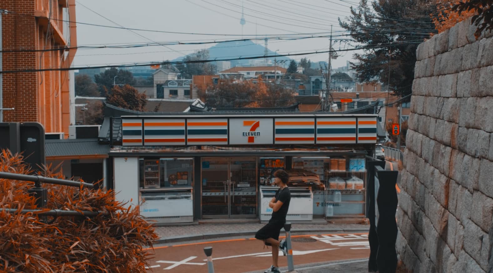
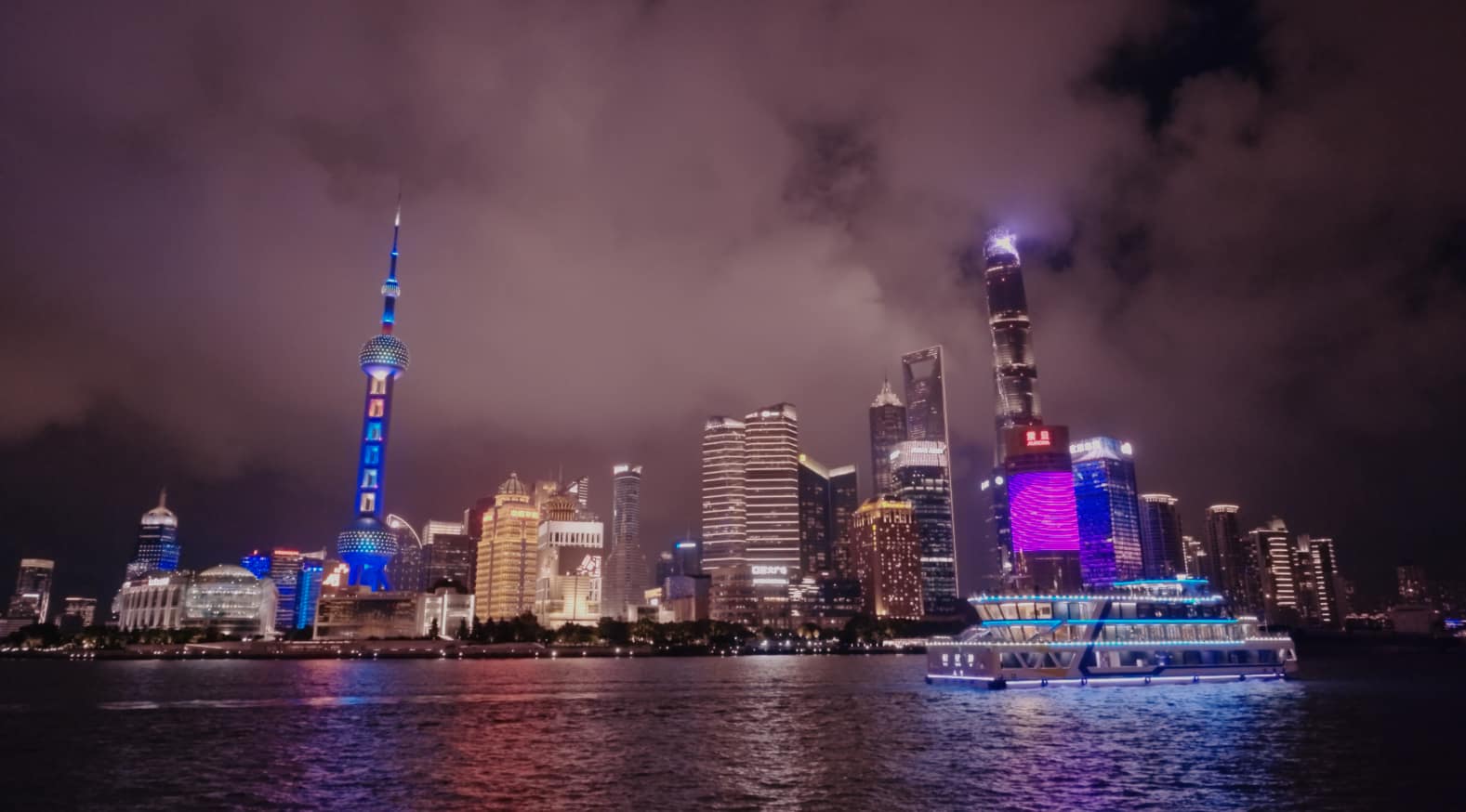
Films, documentaries and photography I’ve made around the world, arranged by where I made them.
05 · More workMy work around the worldChoose a region or the documentary to see the films and photographs made there.Drag to turn the globe · tap a region
Available for films, commissions and collaborations.